Using Geo-spacial data to identify optimal locations for elderly residences
BUSINESS NEED
A new real estate startup sought a criteria for selecting optimal locations forelderly housing in Italy, aiming to ensure access to key services likehealthcare, public transportation, parks, and grocery stores. By using geo-positioning and data analysis, the company planned to assess locations tosupport strategic decision-making and enhance the appeal of its developments.
METHODOLOGY
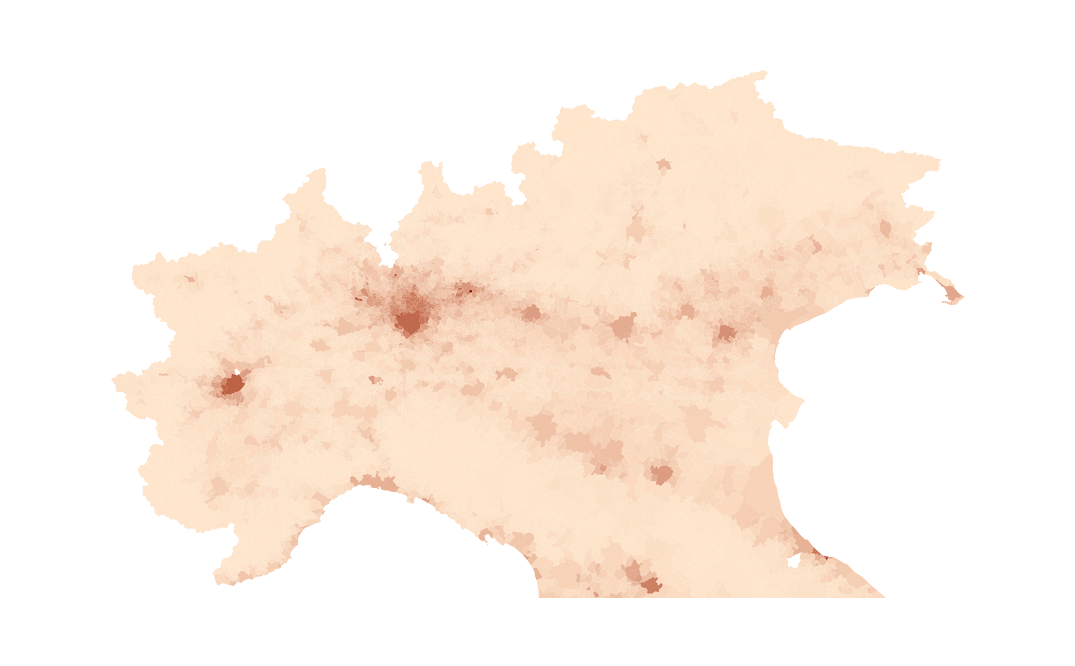
The Analytics Arts Team developed a comprehensive geo-analysis frameworkto assess the suitability of locations for elderly housing in Italy. We collectedvarious geo-data, including maps, healthcare facilities, public transport, grocerystores, parks, and demographic data such as income, age, and genderdistribution across different regions. Using GIS tools and spatial analysis, weevaluated each site based on factors like service accessibility, walkability, andarea coverage. A synthetic score was calculated for each city, and spatialclustering and heat mapping were used to highlight regions with strong serviceavailability and gaps in coverage.
OUTPUT
The analysis revealed several prime locations that offered superior accessibilityto critical services, for instance, one recommended site was in close proximityto multiple healthcare providers, grocery stores, and green spaces, withexcellent public transport links. Heat maps highlighted areas with the highestservice density, guiding the company in pinpointing specific neighborhoodswith the greatest potential. The results enabled the company to strategicallyprioritize locations that not only met accessibility criteria but also matched themarket demand based on local demographics. By leveraging geo-positioningdata, the startup was empowered to make informed decisions that enhancedthe viability and appeal of their new developments, ultimately leading to highersatisfaction among residents and investors alike.


